|
||
ABOUT US EXPERIENCE ENGINEERING SURVEYS |
  |
SERVICES PROJECTS NEWS CAREERS CONTACT |
|
||
|
|||
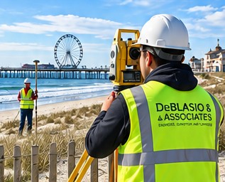
Surveying ServicesPrecision Today. Strong Foundations Tomorrow.Accurate data. Reliable results. Responsive service. That's the foundation of our survey work.
Municipal SurveyingAs an extension of our civil engineering services, we provide comprehensive surveying support for municipal infrastructure and public improvement projects, including:
Our survey team works closely with our engineering staff to streamline project delivery, improve coordination, and provide municipalities with efficient, cost-effective solutions. Private Surveying ServicesWe also provide a full range of professional land surveying services for homeowners, businesses, attorneys, architects, contractors, and developers, including:
Whether you're purchasing property, planning improvements, resolving boundary questions, or meeting FEMA or permitting requirements, our survey professionals provide the accurate information you need to move forward with confidence. Technology & AccuracyOur team utilizes modern surveying equipment and CAD technology to produce accurate field data, detailed mapping, and professional survey deliverables. Every project is completed in accordance with New Jersey surveying standards while maintaining the responsiveness and personal service our clients have come to expect. Why Choose DeBlasio & Associates?Our surveying department is fully integrated with our engineering and planning professionals, allowing us to provide seamless coordination throughout every phase of a project. This collaborative approach improves efficiency, minimizes delays, and ensures that accurate survey data supports every design and construction decision.
|
|||
|